There are 4 main mountain ranges in Southern California: The San Gabriel, San Bernardino, San Jacinto and Santa Ana ranges. While I'm not an expert on them, I do spend some time studying them. Here is my personal way of sorting them in my brain.
- San Gabriel - The main ones (to me at least). These are closest to LA, and the most visible from where I live. Mount Baldy is here, and I've been up in these mountains a lot.
- San Bernardino - The "Big Bear" mountains. It takes a while to get TO these mountains, and then it takes almost as long to get INTO them. Lake Arrowhead and Big Bear are in this range. Also SoCal's tallest peak is in this one. Only visible in the winter from certain vantage points.
- Interesting note: In the narrow flat ground between the above and below mountain ranges is where the scene from Peewee's Big Adventure with the big dinosaurs was shot.
- San Jacinto - These shoot straight up from the ground to form the western border of Palm Springs. They are stunning to behold because of the flat ground they arise from starkly. Not visible from Orange County.
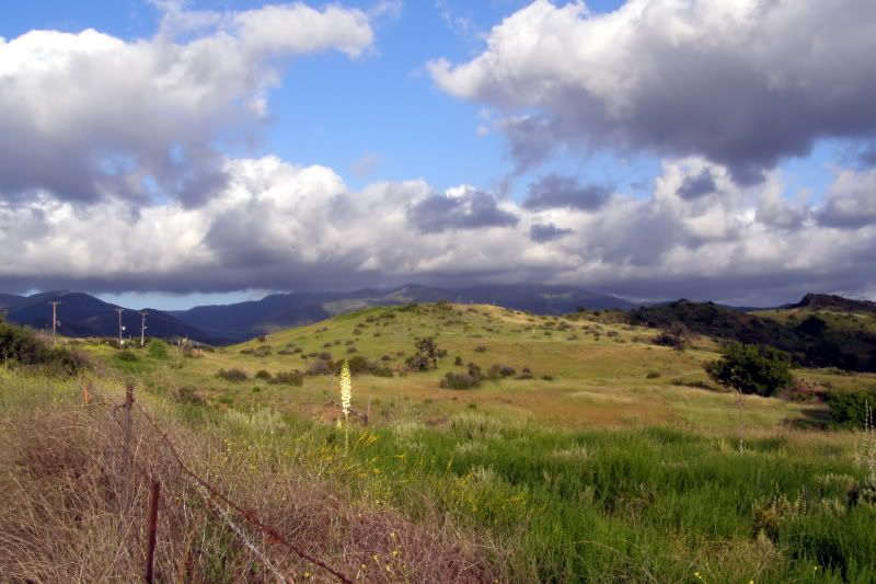
- Santa Ana - These are half the height of the other 3 ranges (peak is around 5,000 feet), but they are the closest, and the only range in Orange County. They are greener and look like they're out of a western film. To me they seem very unexplored, which is very good. The Santa Ana mountains are mysterious, and they've been growing on me.
As I mentioned in the first post of this blog, I enjoy taking the long way home from work. Well, I found a longer long way, and it takes me right to the edge of the Santa Ana mountains. So go ahead, take a guess....yes that's right, I had to explore them.
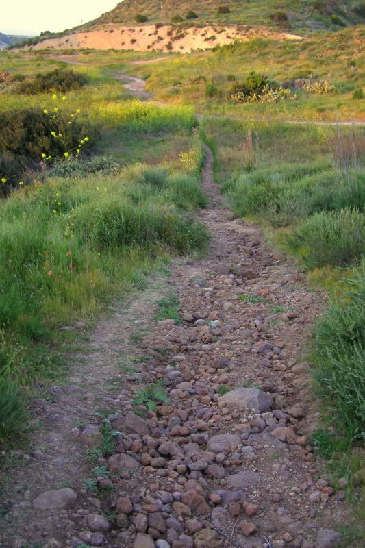
This picture was from another detour on the way home from work. It's off Santiago Canyon Road, and it is all the things I wish Orange County still looked like.
